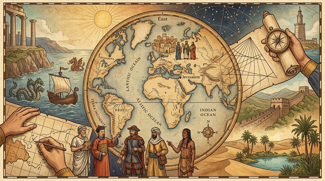
Long before satellites, GPS, and digital navigation app screens, human beings used ink, parchment, and imagination to map out their place in the universe. Ancient maps were rarely created to give drivers pixel-perfect turn-by-turn directions. Instead, they served as vivid reflections of how early civilizations understood religion, culture, geometry, and power. Looking at these ancient artifacts today gives us a fascinating glimpse into the minds of the people who drew them.
For many ancient cultures, a map was a spiritual document first and a geographic guide second. Consider the medieval European Hereford Mappa Mundi, created around the late 13th century. It features Jerusalem directly at its center, with East positioned at the top toward the expected location of the Garden of Eden. Geographical accuracy took a backseat to theology, organizing the world around religious meaning rather than physical distances. Similarly, ancient Babylonian clay tablets, such as the Imago Mundi from the 6th century BCE, showed Babylon at the center of the universe surrounded by a bitter ocean and mysterious islands. To these early cartographers, the center of the map was naturally the center of spiritual life.
Ancient maps also reveal the limits of early human exploration and how cultures filled in the blank spaces. Beyond the borders of known territories, cartographers famously illustrated mythical sea monsters, dragons, and unknown tribes. These illustrations were not just creative flair; they represented the profound fear and awe of the untamed wilderness beyond the frontier.
At the same time, ancient cartography showed incredible scientific progress. Greek scholars like Claudius Ptolemy revolutionized mapmaking in the 2nd century by applying mathematical grid systems, latitude, and longitude. Ptolemy’s work allowed people to visualize the spherical Earth, laying the foundation for modern geography. Across the world in China, ancient mapmakers during the Han and Song dynasties were producing amazingly accurate topographical maps on silk and paper, using grid systems to measure land for administrative and military purposes.
Ultimately, ancient maps show us that humans have always had a deep desire to make sense of the world around them. They remind us that how we view the planet is always shaped by the knowledge, values, and technology of our time.





Leave a Reply